History
The idea behind the development of SC ArchSite dates back to 1996 when the South Carolina Department of Transportation (SCDOT) awarded a Transportation Enhancement grant to the SCDAH and SCIAA for the digitization of the state’s National Register properties and archaeological sites. Thousands of paper files were digitized and incorporated into a Geographic Information System (GIS) that was made available to consultants, government agencies, and planners at different workstations. The benefits to using GIS technology to manage cultural resource information were quickly realized and the development of additional data layers soon followed.
In 2004, the SCDOT awarded an additional grant to SCDAH and SCIAA to create a web-based mapping application that would provide increased access to cultural resource information in the state. The goal of the project was two fold: to provide online access to a comprehensive source of cultural resource information and to create a digital process for archaeological site recordation. The proponents of the project met with representatives from the ESRI Charlotte to discuss possible solutions. A decision was made to utilize ESRI’s ArcGIS Server software because of its functionality, usability, and analytical capabilities. ESRI’s professional services were hired to build the application.
In 2012, the ArchSite Steering Committee (SCIAA, SCDOT, SCDAH) conducted an online needs assessment to determine who was using ArchSite, how it was being used and the features users considered most useful, and potential improvements users would like. The response to the survey was strong with 157 people completing the survey. (View a PDF of the results.) Using the survey results, the ArchSite Steering Committee negotiated with the University of South Carolina Geography Department to develop a new ArchSite application based on current software and technologies. .
Project Progress Path
- 2003 - 2004 Project Conceptualization and Proof of Concept
- Jul, 2004 Initial Launch v1.0
- Jul, 2015 Technology Enhancements v2.0
- Sep, 2016 Feature Improvement v3.0
- Jan, 2017 Additional Improvements v3.2
The Development Team
The team responsible for developing the new SC ArchSite brought together individuals from SCDAH, SCIAA, and USC-Geography, again under the auspices of the SCDOT. Members of the University of South Carolina's Department of Geography developed the technical concepts and implemented the solution in a cloud environment.
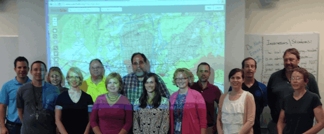 The SC ArchSite Development Team
South Carolina Institute of Archaeology and Anthropology
Jonathan Leader
Karen Y. Smith
Steven D. Smith
Kaitlyn Ward
South Carolina Department of Archives and History
Emily Dale
Elizabeth Johnson
Brad Sauls
Sarah A. Stephens
South Carolina Department of Transportation
Bill Jurgelski
Chad C. Long
University of South Carolina Department of Geography
Michael E. Hodgson, principal investigator
Tommy Bramble, principal programmer
Karen Beidel, user experience
Silvia Piovan (Visiting Scholar, DISSGEA, U. Padova), website evaluation
Ian Kramer, programmer
Kevin Remington
Wm. Lynn Shirley, project manager